
Where? Båstad-Torekov-Grevie-Båstad. Length: 52 kilometer. Difficulty: Difficult
This hike on the SL1 Kust-kustleden takes you along the water from Båstad, past Torekov, and down to the Ängelbäcksstrand beach before making its way across the peninsula and back to Båstad. Get off the train at the train station and take the bus into central Båstad, where you get off at the Kungsbergsvägen bus stop. Travel east on the street Havsbadsvägen and you will soon see the orange markings of the Skåneleden Trail.
Båstad is mentioned for the first time in a letter of purchase from 1450. At that time, King Kristian I of Denmark needed a place to dock his ships, and the name Båstad probably means boatyard. The first bathers discovered the site in the 1830s, and there was a sharp increase in visitors when the railway opened between Helsingborg and Båstad in 1885. The area really comes to life in the summer, and guests from far and wide are attracted to the area to see the Swedish Open tennis tournament.
As you travel north, you pass the classic Norrviken gardens. It was here that fruit specialist and master gardener Rudolf Abelin began to build an ambitious garden facility in the early 1900s. The goal was to create a living garden museum. As early as 1922, there were 200 different types of fruit trees and a total of about 5,000 trees here. Today, there are seven gardens in different styles between Hallandsåsen Ridge and the sea.
As you continue your hike, you move through open pastures. If you are passing this way in the summer, you might be tempted to pick some raspberries. There is a magnificent view of Laholm Bay and you will eventually reach the Englandsdal nature reserve, with its deep ravine and dense groves of trees.
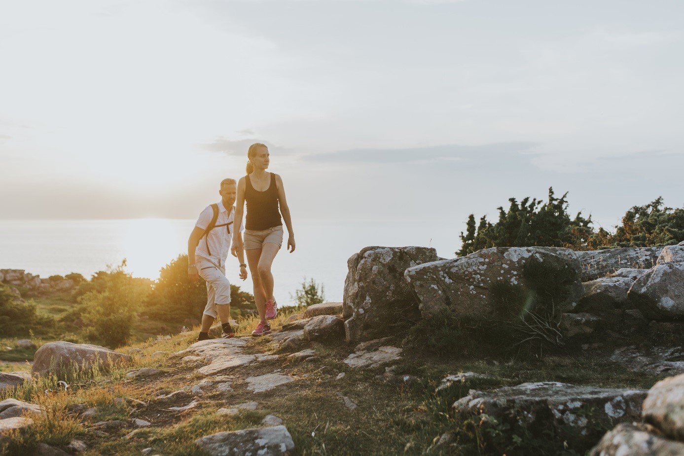
As you continue through the pastoral landscape, you reach one of the highest points in Skåne – the Knösen Lookout at the very tip of Bjäre Peninsula. Rising 154.7 metres above sea level, it provides views of the island Hallands Väderö, the Skälderviken bay and the Kullaberg peninsula. Right beside the trail is the campsite Knösen.
You make your way through a heathland with heather and blueberry bushes, and gradually reach the cliffs of Hovs Hallar. The coastline here is wild, barren and dramatic, with shingle fields, sea-stacks and cave-like formations in the rock. The Skåneleden Trail goes up the hill. If you want to make your way down to the beach, there is a convenient place right near the parking lot of the Hovs Hallar hotel.
The hike now continues towards Torekov, and you enter Bjärekusten Nature Reserve. Here, you make your way down to the beach and pass coastal meadows and a rocky coastal path. You travel across fields of shingles that crunch under your feet, and pass a golf course before reaching the village. Some buildings and the fishing sheds in the little fishing village of Torekov are from the 1800s. The village offer fish restaurants, classic spa resorts and bus station.
Once you have left Torekov and travelled south for a few kilometres, you will pass Skåne’s largest burial mound – Dagshög. It stands five metres tall and is 42 metres in diameter. Its location here is not by chance. It can be seen from far and wide from both sea and land, and has served as a navigational marker for seamen.You pass Burensvik, with its natural harbour and shingle beaches. As you make your way down to the Rammsjöstrand beach, you pass additional ancient relics in the form of graves, stone mounds, and rock formations.
The hike is close to the beach, so there are plenty of sea birds to see, such as eiders, ducks and terns. After Glimminge, where farmers planted trees to prevent sand erosion in the 1800s, and Öllövsstrand beach, you will reach Ängelbäckstrand beach. Here, the trail makes its way inland and you travel on asphalt roads in a rural setting until you reach the hilly nature reserve called Grevie Åsar.
The hike now begins to go up along curvy asphalt roads, and you can tell you are about to cross the Hallandsåsen Ridge. A little further ahead, you will find the Axelstorp Nature Reserve.
You have now passed the ridge and the hike begins to wind its way downwards. At Lyabäcken, you can enjoy alder forests. You eventually reach the campsite Båstad, near Korrödsmölla, which is west of the railway. You have now reached Båstad. Find the Kungsbergsvägen bus stop north of the road Lyavägen and take the bus back to the railway station.