
Apelöga
5 Skåre - Trelleborg
- Length
- 10 km
- Degree of difficulty
- Green
Here, you’ll hike through Trelleborg’s medieval quarters, Viking fort, green trails, and recreational areas on your way to the fishing village of Skåre
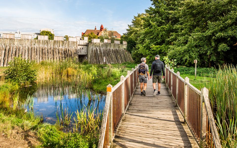
Starting from Trelleborg Central Station, the trail heads westward and then leads you into Trelleborg’s medieval quarter. Here, the trail passes the ruins of St. Catherine's Monastery, Old Square, and St. Nicolai Church, before continuing through the Viking Museum Trelleborgen via the reconstructed fort wall.
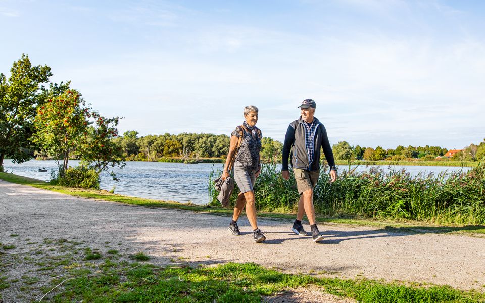
Once you’ve passed the Viking area, the trail leads you through green paths to Flaninge Park and an allotment area, eventually reaching Albäck Forest, a recreational area where the Albäck Stream winds through. In the forest, you’ll find an adventure playground, picnic areas, shelters for overnight stays, an MTB track, and a disc golf course. In the eastern part of the forest, there are restrooms and access to drinking water (note that the restroom has limited opening hours).
The trail then continues over a footbridge crossing the E6 highway toward Stavstensudde, where you can take a short detour to Maglarp Sandpit Nature Reserve. This former quarry has become home to a sand martin colony over 50 years old. The birds are sensitive to disturbances, but from a specially designed viewing area, you can safely observe them in late spring and early summer. In recent years, the rare European bee-eater has also nested here.
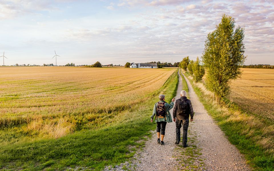
Walk westward along the fields, and you’ll soon pass the foundations of an old church. This is where the former Maglarp New Church stood before it was deconsecrated and then demolished in 2007.
The trail now leads you to the fishing village of Skåre, the endpoint of this stage. Skåre, a small fishing village rooted in medieval herring fishing, had its heyday during the 13th century. In the harbor, you’ll find drying racks for fishing nets and a small fishing museum worth a visit. There’s a restroom at the boat club. East of the harbor lies the old 17th-century defense structure Skåre Skansar, which now borders a beach and a marine nature reserve.
On the rocks outside Skåre, you can often spot resting harbor seals, so be sure to bring binoculars!
10 km
Degree of difficulty
About Difficulty Grading
The grading is tailored for Swedish lowland trails that adhere to the quality criteria established by the national framework for hiking trails.
Even and firm ground: The terrain is generally flat. The hike requires no need to use your hands for support. No obstacles. Bridges are always present when crossing waterways.
Uneven and/or soft ground: Some changes in elevation. Certain sections may require hand support to maintain balance. There may be obstacles such as low stiles and short stairs. Minor obstacles like stones and roots. Boardwalks are present.
Loose or slippery ground combined with steep sections: Technical parts require hand support. There may be obstacles such as high stiles and longer stairs. Frequent sections with stones and/or roots. Boardwalks with deeper surrounding water.
Note: One or more of these features may be present along the trail section.
Green
2-3 timmar
- Kustnära
- Stadsnära
- 7-15 km
- Lätt
- Kollektivtrafik
- Skåneleden
Highlights along the section
Are you looking for a place to stay or a cozy cafe during your hike? Here are some of the sights and places to visit along the section.
Hiking suggestions
Do you find it difficult to know where to start your hike? Here is some inspiration and a selection of recommended hikes - short and long, with or without accommodation or based on different themes.
Show allNews
Here you will find information about what's new on the trail as well as current redirections and disturbances.
Continue on the trail
Share your moments
Share your adventures on the trail by tagging your photos with #skåneleden or #skaneleden.