
Apelöga
1 Åstorp - Hålebäck
- Length
- 10 km
- Degree of difficulty
- Blue
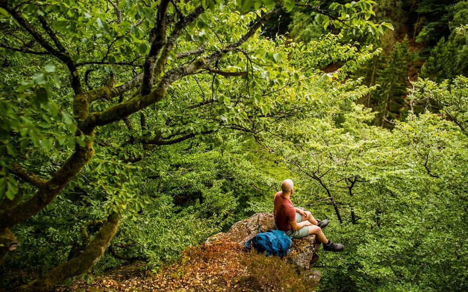
Running tracks and footpaths carry you across the northern slope of the Söderåsen Ridge in northwest Skåne. Through rich forests, past bogs and the high stone wall built as a deer enclosure on the Vrams Gunnarstorp estate. Don’t miss the bronze age burial grounds.
Nature
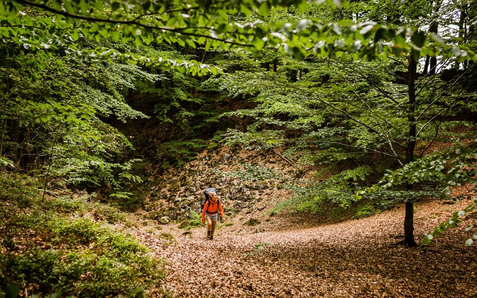
In a generally southeast direction, your footsteps carry you across the northern slope of the Söderåsen Ridge, a horst formed some 150 million years ago when the surrounding bedrock sank along a fault. This section of trail is characterised by deciduous forest, including old growth and beech forest growing on poor, highly-acid soils. A gentle running track leads you through the species rich Tingvalla Ravine. The soil in the ravine has never been ploughed, but the woodlands have been grazed by pigs, sheep and cattle for centuries. Unusual plants and lichens thrive on the scree slopes.
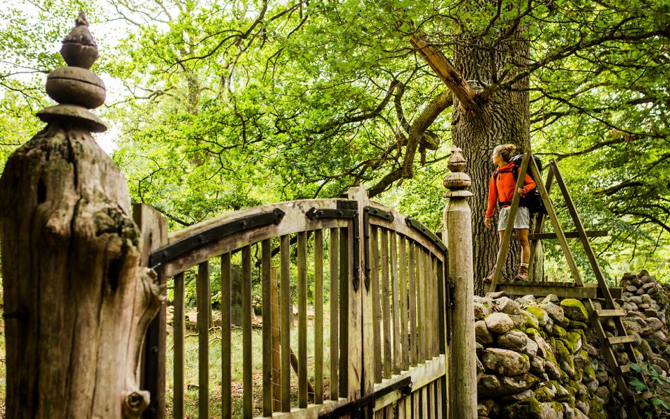
To the south, you follow a stone wall as tall as a man, an old deer enclosure. Today for the most part, the deer roam outside the fence, but inside you find thriving bird communities, and the area is a nature reserve. Maglaby Kärr Bog, just to the east, is more like a lake than a bog, and is one of the few areas of open water on the ridge. This is another great area for spotting birds including common teal, mallard ducks, green sandpiper and snipe.
Cultural History
Tingvalla has been a scene for parties since the 1930s, and people still dance here. The name Tingvalla means trial, and people met here to settle disputes as far back as the Viking era. Vrams Gunnarstorp Castle was built in the 1600s. It’s privately owned, but you can visit the park with its renowned box hedges and hornbeam pergola. Perhaps You will be as impressed by the park’s beauty as Carol von Linné was in 1749. The impressive stone wall surrounding the estate's deer enclosure was built around the same time.
Just outside of Åstorp there is a beautiful beech forest – Skyttaböket with Skyttabäcken Creek running through. There are several man-made ponds here, one stocked with goldfish. A place of peace and beauty today, but once upon a time grisly executions took place here.
East of Maglaby Kärr you wander through fields long abandoned. There are several clearance cairns and on the slopes, you see the terraces where farmers grew their crops long ago. There are some twenty or so graves in the area, and the two largest burial mounds – Stora and Lilla Rör – are from the older Bronze Age, 1500-1000 BCE.
10 km
Degree of difficulty
About Difficulty Grading
The grading is tailored for Swedish lowland trails that adhere to the quality criteria established by the national framework for hiking trails.
Even and firm ground: The terrain is generally flat. The hike requires no need to use your hands for support. No obstacles. Bridges are always present when crossing waterways.
Uneven and/or soft ground: Some changes in elevation. Certain sections may require hand support to maintain balance. There may be obstacles such as low stiles and short stairs. Minor obstacles like stones and roots. Boardwalks are present.
Loose or slippery ground combined with steep sections: Technical parts require hand support. There may be obstacles such as high stiles and longer stairs. Frequent sections with stones and/or roots. Boardwalks with deeper surrounding water.
Note: One or more of these features may be present along the trail section.
Blue
2-3 timmar
- Skog
- Böljande
- Storslagna vyer
- 7-15 km
- Lätt
- Kollektivtrafik
- Skåneleden
Highlights along the section
Are you looking for a place to stay or a cozy cafe during your hike? Here are some of the sights and places to visit along the section.
Hiking suggestions
Do you find it difficult to know where to start your hike? Here is some inspiration and a selection of recommended hikes - short and long, with or without accommodation or based on different themes.
Show allNews
Here you will find information about what's new on the trail as well as current redirections and disturbances.
Continue on the trail
Share your moments
Share your adventures on the trail by tagging your photos with #skåneleden or #skaneleden.