
Apelöga
11 Ekeröd – Timan
- Length
- 13 km
- Degree of difficulty
- Blue
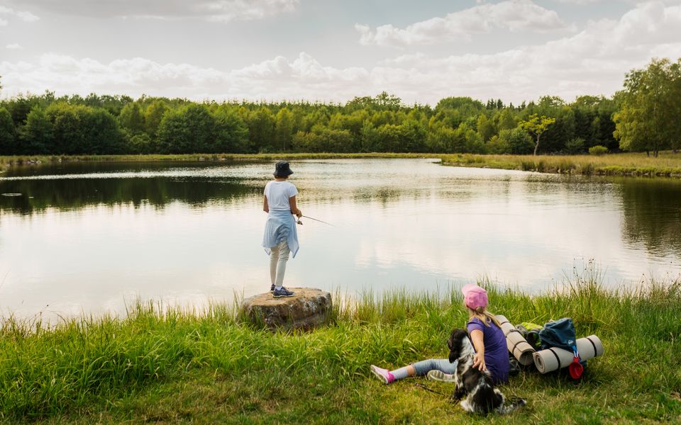
Climb and wander on the Linderödsåsen Ridge in central Skåne. Human influence fades into the distance, and the forest becomes thicker the further south you travel. Small forest tracks take you past dry hummocks, damp hollows and small, pretty pastures. As you near your campsite, nature takes over completely.
Nature
This stretch of trail takes you up onto the Linderödsåsen Ridge, a horst in geological terms, with beech and oak growing on the slopes and poor, rocky fields, bogs, heaths and pine forest along its top. Your footsteps carry you along small gravel roads through forest, but closer to Torastorp, the landscape opens more as you wander into a pasture with grazed woodland. It is very possible that you meet grazing animals along the small forestry track.
Civilisation feels distant as you pass soggy woodlands and one bog after another. At a crossing of three roads stands Kärkleksträdet, or the Love Tree. This beech tree is now little more than a tall stump, but its nickname is from the many newlyweds who once carved their initials in its bark. These declarations of undying love are all but invisible now, covered as they are by moss and lichens. Now, the decay process itself is an object of love for the many insects and beetles who thrive in its rotting interior.
About one kilometre north of the campsite at Timan is a rather inconspicuous area, at least to the untrained eye. But if you follow the path into the forest you enter a very special woodland key habitat. Broad-leaved deciduous forest, with the odd beech tree, has been allowed to develop in its own natural way and at its own pace. Here you see more high, rotting stumps providing valuable micro-environments. Species that do not like human intervention thrive here.
Cultural History
Your start point for this stretch of trail – Ekeröd – is mentioned first in the late 1400s. But the many prehistoric monuments indicate that the area has been used by humans for much, much longer. In addition to the seven stone circles northwest of Ekeröd, which are cremation burials from the Iron Age, there is a Bronze Age burial mound to the east. The outer shell consists of large stones, and in the interior there is probably a stone coffin. Often, the remains of more than one person are found within. In more recent times, the burial mounds have been associated with magic and goblins and mysterious lightning, but today they are simply a silent reminder of the mystery of death with which humans have always struggled.
Peat was an important source of income in this area, and massive quantities were cut from the bogs, dried and used for fuel for cooking or as animal bedding. If you look out over the bogs, you can still see the ditches where the peat was removed. Near the E22 highway, a rail system was constructed, where cable cars filled with peat were hooked to a line and towed to the factory. Some of the wagons, rusty with age, can be seen abandoned along the edge of the bog north of Timan.
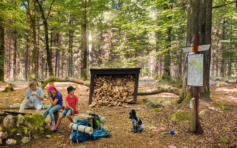
The campsite at Timan was called Skogen Timan, or Timan Forest, on old maps. According to the Danish King Valdemar’s land register from the year 1231, this area belonged to him. In the mid-1700s, the land was parcelled out to the surrounding villages. But tonight, in the beech woodland where you sleep, the land is yours.
13 km
Degree of difficulty
About Difficulty Grading
The grading is tailored for Swedish lowland trails that adhere to the quality criteria established by the national framework for hiking trails.
Even and firm ground: The terrain is generally flat. The hike requires no need to use your hands for support. No obstacles. Bridges are always present when crossing waterways.
Uneven and/or soft ground: Some changes in elevation. Certain sections may require hand support to maintain balance. There may be obstacles such as low stiles and short stairs. Minor obstacles like stones and roots. Boardwalks are present.
Loose or slippery ground combined with steep sections: Technical parts require hand support. There may be obstacles such as high stiles and longer stairs. Frequent sections with stones and/or roots. Boardwalks with deeper surrounding water.
Note: One or more of these features may be present along the trail section.
Blue
3-4 timmar
- Skog
- 7-15 km
- Lätt
- Barnfamiljer
- Skåneleden
Highlights along the section
Are you looking for a place to stay or a cozy cafe during your hike? Here are some of the sights and places to visit along the section.
Hiking suggestions
Do you find it difficult to know where to start your hike? Here is some inspiration and a selection of recommended hikes - short and long, with or without accommodation or based on different themes.
Show allNews
Here you will find information about what's new on the trail as well as current redirections and disturbances.
Continue on the trail
Share your moments
Share your adventures on the trail by tagging your photos with #skåneleden or #skaneleden.