
Apelöga
5 Söderåsens Nationalpark - Jällabjär
- Length
- 11 km
- Degree of difficulty
- Red
Your adventure in northwest Skåne, on the southeast end of the Söderåsen Ridge, includes deep, forest-covered gorges, an almost perfectly circular lake steeped in mystique, ancient pastures and legends galore. Pause to fish, or swim, or paddle, or take a guided tour, but most of all, just be in the fabulous nature along the trail.
Nature
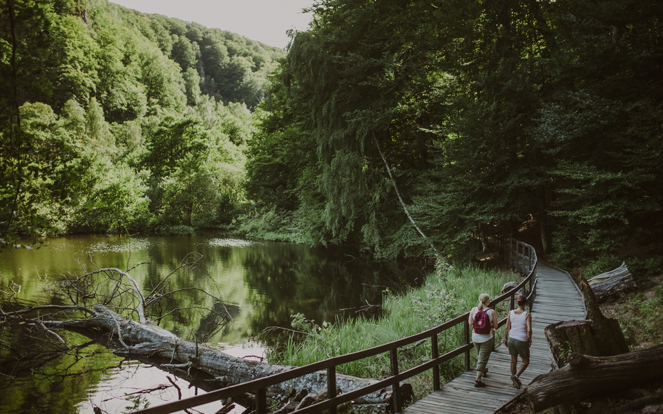
Your adventure starts at the Skäralid Naturum Visitor Centre in Söderåsen National Park. There is a wealth of information here that can help you make sense of what you see in the area. For instance, In the valleys, species from the south, north and west meet, and this national park is one of the most species rich areas in Sweden. Take a little detour, just a few hundred metres, to Hjortsprånget for the incredible view. Hjortsprånget means Deer Leap and was probably so named for the ancient hunting method where deer were driven over the edge. Your footsteps carry you almost straight south through the slightly hilly Ugglerödsdalen Valley, and through gentle-sloped Nackarpsdalen Valley. At the southern end of the valley is the perfectly round Odensjön Lake.
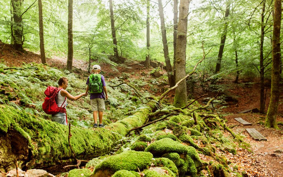
The Jällabjär Nature Reserve at the end of this section of trail, and east of Röstånga, is one of Skåne’s best preserved volcanoes. It rises some 50 metres above its surroundings and can be seen from far away. The basalt core was the eruption channel and at the top columns of basalt have been dated to 188 million years old. Once widely grazed, forest has reclaimed much of the reserve. The dead wood amongst the living trees is well-used by many small creatures. And in the sunken, moister areas, there are alder forests and even a few alder bogs.
Cultural History
Take a moment to enjoy the view at Skärdammen Pond near your starting at the Skäralid Visitor Centre. The pond is artificial, built to provide a beautiful backdrop for guests of the hotel constructed here in 1906. The hotel was torn down in 1969 and replaced with the predecessor of today's red, wooden visitor centre. The pond, however, remains in all its original beauty.
Odensjön Lake – small, perfectly round, steeped in myth and legend. The lake was named after one-eyed Oden, the Norse God associated with healing, death, knowledge, battle, sorcery, poetry, frenzy, and the runic alphabet. One legend says that no one can ever know how this lake was formed. Another that it is bottomless. But like so much else in the area, the lake is likely the result of glacial melt, and the depth has been measured to 19 metres. In summer, concerts are held here, on rafts floating on the lake’s round surface.
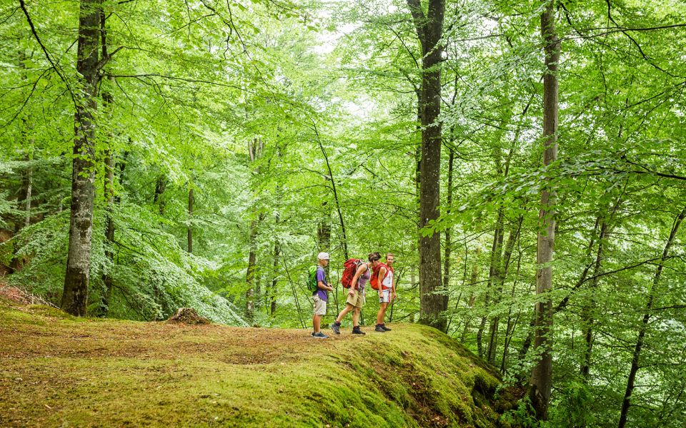
You pass through the little village of Röstånga on your way to your end point at the Jällabjär Nature Reserve. In the past, the reserve was used as grazing lands by the villagers of Röstånga and Kolema. As grazing gradually declined, trees reclaimed the pastures and Jällabjär became woodland once again. But attempts are being made to re-create the open landscape by allowing animals to once again graze the area. Meadow flora abounds, and in spring the white blossoms of Anemone nemorosa, or wood anemones, are everywhere. The rich meadow habitat is home to many birds including wood warblers, icterine warblers, the common linnet, and whinchats.
In nature reserves and national parks, special rules and restrictions apply to the Right of Public Access (Allemansrätten). Read more on the Swedish National Parks website.
11 km
Degree of difficulty
About Difficulty Grading
The grading is tailored for Swedish lowland trails that adhere to the quality criteria established by the national framework for hiking trails.
Even and firm ground: The terrain is generally flat. The hike requires no need to use your hands for support. No obstacles. Bridges are always present when crossing waterways.
Uneven and/or soft ground: Some changes in elevation. Certain sections may require hand support to maintain balance. There may be obstacles such as low stiles and short stairs. Minor obstacles like stones and roots. Boardwalks are present.
Loose or slippery ground combined with steep sections: Technical parts require hand support. There may be obstacles such as high stiles and longer stairs. Frequent sections with stones and/or roots. Boardwalks with deeper surrounding water.
Note: One or more of these features may be present along the trail section.
Red
3-4 timmar
- Skog
- Böljande
- 7-15 km
- Utmanande
- Skåneleden
Highlights along the section
Are you looking for a place to stay or a cozy cafe during your hike? Here are some of the sights and places to visit along the section.
Hiking suggestions
Do you find it difficult to know where to start your hike? Here is some inspiration and a selection of recommended hikes - short and long, with or without accommodation or based on different themes.
Show allNews
Here you will find information about what's new on the trail as well as current redirections and disturbances.
Continue on the trail
Share your moments
Share your adventures on the trail by tagging your photos with #skåneleden or #skaneleden.