
Torbjörn Lingöy
6 Jällabjär - S Hultarp
- Length
- 11 km
- Degree of difficulty
- Red
First east, and then south, through the heart of Skåne – sometimes following boardwalks through wet forests, sometimes footpaths through pastures and over forested hills. Volcanic remains await you, as does a strange juniper woodland. Your end destination – Södra Hultarp – is a nature reserve.
Nature
The Jällabjär Nature Reserve is your starting point, and one of Skåne’s best preserved volcanoes. It rises some 50 metres above its surroundings and can be seen from far away. But you will get a much closer perspective as you follow a winding path up to the top, where you see the remains of vents in the crater, hexagonal pillars made of basalt dated to 188 million years old, when dinosaurs roamed the earth. However, since most of Skåne was a shallow sea then, it is more likely that the dinosaurs swam here. Once widely grazed, forest has reclaimed much of the extinct volcano. The dead wood amongst the living trees is thoroughly exploited by many small creatures. And in the sunken, moister areas, there are alder forests and even a few alder bogs.
Via a boardwalk, you continue to open pastures with stone walls and the village of Anderstorp, and just past the village you arrive at Eneskogen – or Juniper Forest. As the name suggests, juniper grows in abundance here, some of them the largest in Skåne. Here and there you find solitary oak and beech – ancient giants. A jumble of footpaths criss-cross Eneskogen, so it is important to keep an eye out for trail markers.
From the top of Natthall, there is a beautiful view out over the Rönne Å River, and amongst the deciduous woodlands on the slopes you find yellow anemone, coral root garlic mustard, hairy violet and cowslips. A kilometre or so to the north there is a basalt tuff, the result of a violent volcanic eruption where lava exploded from the crater and splashed down here.
You cross the Rönne Å River on a swaying bridge. The river extends from Ringsjön to Skälderviken and salmon and trout spawn here. The rest of this section follows a winding gravel road through an extensively farmed landscape until you arrive at S. Hultarp Nature Reserve.
Cultural History
The village of Anderstorp is historically unique as it avoided the enclosure reforms of the 1700s and 1800s. Thus, it has maintained the old character where the houses huddle close together and are irregularly placed along the village road. In 1677, the village was the site of a battle, where at least 50 Swedish soldiers were killed in an ambush after crossing the Rönne Å River at Stockamöllan. Probably many more than 50 men died as military commanders often under-exaggerated their defeats. The fallen are buried on a little piece of land called Svenskingalyckan.
The Rönne Å River has long been a transport route and many barges have travelled between Klippan and Skälderviken. You can also choose to use the river as a means of transport and combine your hiking with some paddling. From Djupadal Valley, you can paddle all the way to the Baltic at Skälderviken. If you start your trip paddling, it’s best to launch your canoe at Stockamöllan, and continue by foot from Djupadal Valley. The river has also been a source of power, including at Stockamöllan, where a small, industrial village developed around the mill and saw works. Remains of older mills and other ruins have also been found along the river, as well as graves dating back to the Iron Age.
11 km
Degree of difficulty
About Difficulty Grading
The grading is tailored for Swedish lowland trails that adhere to the quality criteria established by the national framework for hiking trails.
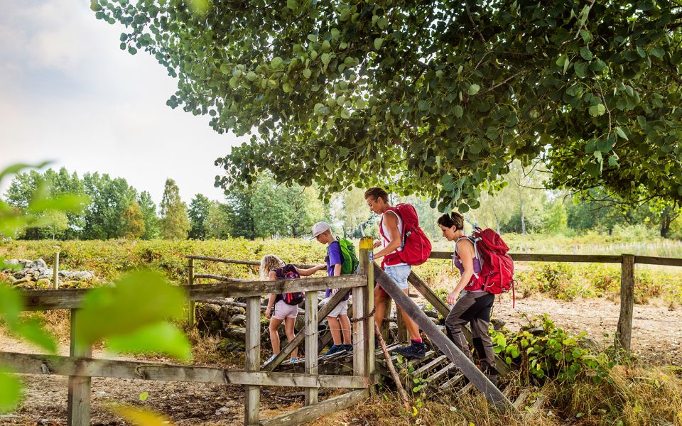
Even and firm ground: The terrain is generally flat. The hike requires no need to use your hands for support. No obstacles. Bridges are always present when crossing waterways.
Uneven and/or soft ground: Some changes in elevation. Certain sections may require hand support to maintain balance. There may be obstacles such as low stiles and short stairs. Minor obstacles like stones and roots. Boardwalks are present.
Loose or slippery ground combined with steep sections: Technical parts require hand support. There may be obstacles such as high stiles and longer stairs. Frequent sections with stones and/or roots. Boardwalks with deeper surrounding water.
Note: One or more of these features may be present along the trail section.
Red
3-4 timmar
- Skog
- 7-15 km
- Lätt
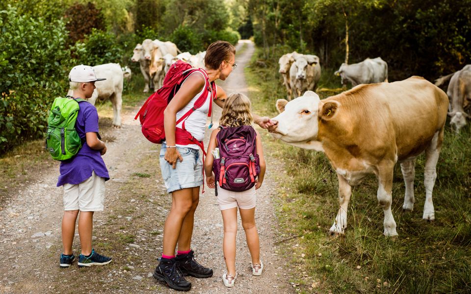
- Hund
- Barnfamiljer
- Skåneleden
Highlights along the section
Are you looking for a place to stay or a cozy cafe during your hike? Here are some of the sights and places to visit along the section.
Hiking suggestions
Do you find it difficult to know where to start your hike? Here is some inspiration and a selection of recommended hikes - short and long, with or without accommodation or based on different themes.
Show allNews
Here you will find information about what's new on the trail as well as current redirections and disturbances.
Continue on the trail
Share your moments
Share your adventures on the trail by tagging your photos with #skåneleden or #skaneleden.