
Apelöga
12 Timan – Rebbetuaröd
- Length
- 21 km
- Degree of difficulty
- Blue
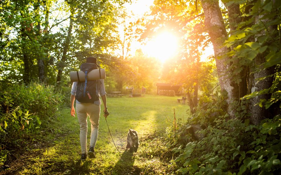
Far from civilisation, over the flat top of the Linderödsåsen Ridge in the northern part of southeast Skåne, you wander through valuable wetlands, forest, ancient habitats and an old bog island – once a hide-out for pro-Danish partisans. Perhaps a black grouse will come out of hiding and share its impassioned courtship display.
Nature
Near your starting point is a very special woodland key habitat, where deciduous forest has been allowed to develop in its own way at its own pace, and species that do not like human intervention thrive. Leave Timan on a winding path alongside the edge of Viss Mosse Bog. The woodland here has an old-growth feel, a feeling heightened by the dead and decaying trees lying askew throughout.
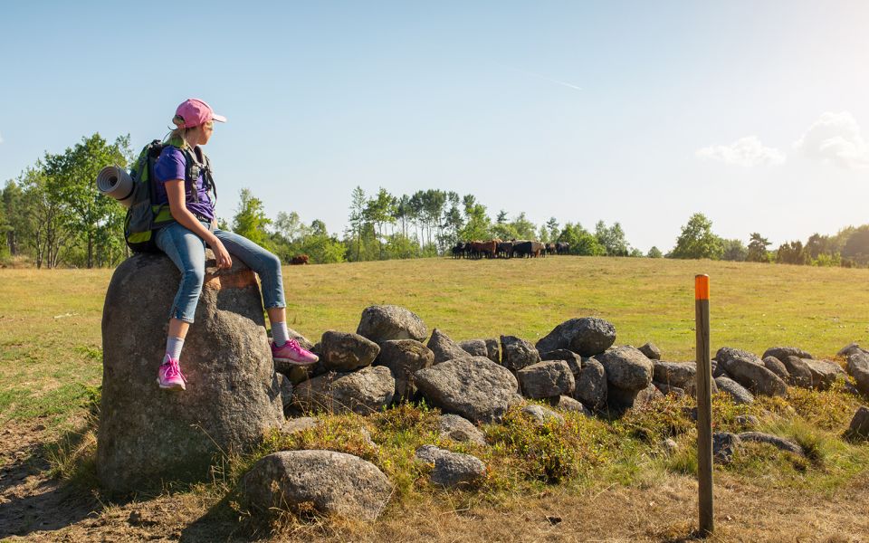
After the pasture at Kromsö, a winding road takes you through an ancient, open, grazed landscape. There are lots of stones, juniper bushes, traditional wooden fences, and large trees with spreading crowns and in the summer, you may have some company from curious, quiet grazers. South of Brännestad, and just west of the trail, is Fjällmossen Bog, with its sphagnum and carnivorous sundew, which draws nutrition from unlucky insects. The bog is also a bird sanctuary, and there is a viewing tower. If you’re lucky, you might see black grouse performing their courtship displays.
For the last part of this section of trail, forestry tracks carry you through planted forests and ancient grazed woodlands with the odd creek running through until you reach the camp site at Rebbetuaröd. The land around the village is a mix of fields, beech woodland and small water courses. Many rare and threatened butterflies have been spotted here.
Cultural History
On old maps, your starting point of Timan is referred to as Skogen Timan, and according to the Danish King Valdemar’s land register from the year 1231, this area belonged to him. In the mid-1700s, the land was parcelled out to the surrounding villages.
At the Viss Mosse Bog, peat is still being harvested from an area in the centre, while on the eastern edge near the trail, there is a raised area called Kromsö Island, which would have been surrounded by water at certain times of the year long ago. Legend has it that this secluded location was used as a hideout for pro-Danish partisans in the 1600s. But there is evidence to support human presence from much further back in time. In the 1940s, a dugout canoe was found in the bog, and one estimate places its age at 8,000 years ago, or older. Worked flint and other tools found here are consistent with this dating. The area is also known for trolls, one of whom sunk a church bell somewhere in the bog. Neither trolls, nor giants, could tolerate the sound of church bells ringing.
Between Harphult and Brännestad, the road follows the natural contours of the landscape, as was typical for roads before the advent of modern engineering. In the grazed woodland and pastures at Abullaberga there are several interesting remains, including a flax processing cottage, a mill stone lying by the creek, and the impressive stone ruins of a farm. Further along the trail there are more ruins, mostly from small crofts.
There is plenty of history in the area around Rebbetuaröd, including the remains of farms, a beautiful old arched bridge, a ruined mill and several small, earthen cellars.
21 km
Degree of difficulty
About Difficulty Grading
The grading is tailored for Swedish lowland trails that adhere to the quality criteria established by the national framework for hiking trails.
Even and firm ground: The terrain is generally flat. The hike requires no need to use your hands for support. No obstacles. Bridges are always present when crossing waterways.
Uneven and/or soft ground: Some changes in elevation. Certain sections may require hand support to maintain balance. There may be obstacles such as low stiles and short stairs. Minor obstacles like stones and roots. Boardwalks are present.
Loose or slippery ground combined with steep sections: Technical parts require hand support. There may be obstacles such as high stiles and longer stairs. Frequent sections with stones and/or roots. Boardwalks with deeper surrounding water.
Note: One or more of these features may be present along the trail section.
Blue
5-6 timmar
- Skog
- 15-26 km
- Medel
- Hund
- Skåneleden
Highlights along the section
Are you looking for a place to stay or a cozy cafe during your hike? Here are some of the sights and places to visit along the section.
Hiking suggestions
Do you find it difficult to know where to start your hike? Here is some inspiration and a selection of recommended hikes - short and long, with or without accommodation or based on different themes.
Show allNews
Here you will find information about what's new on the trail as well as current redirections and disturbances.
Continue on the trail
Share your moments
Share your adventures on the trail by tagging your photos with #skåneleden or #skaneleden.