
Mickael Tannus
4 Mölle - Höganäs
- Length
- 12 km
- Degree of difficulty
- Green
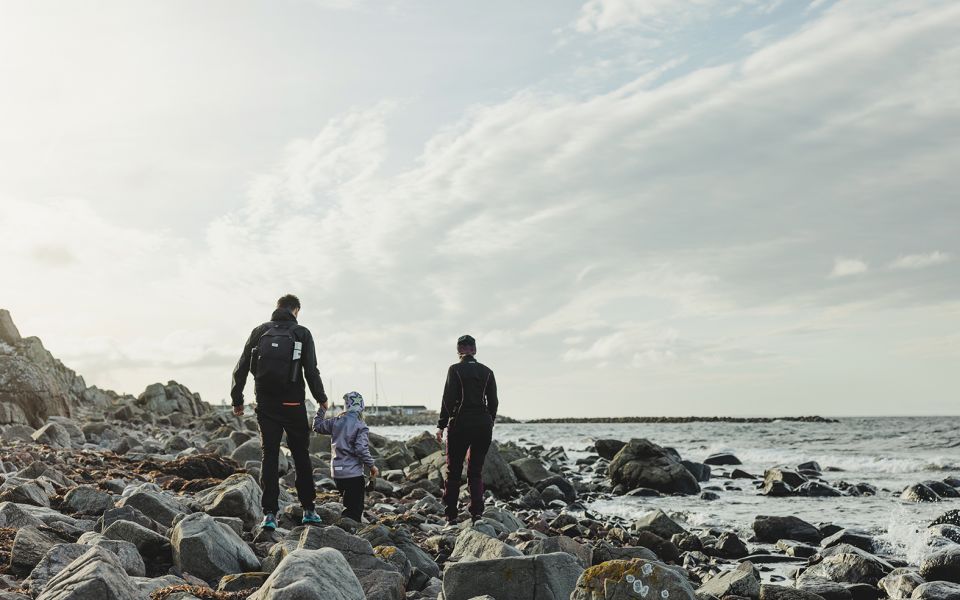
Leaving Mölle, also known as the pottery town, you continue on shore walks, past gnarled pine forests and charming fishing villages. From time to time, you’ll find coastal heaths where the wind has created dunes, and the flora is definitely unique.
Nature
This section of the Öresundsleden Trail is a part of the Kullaleden Trail, a hiking route of exceptionally high, international standard.
South of Mölle, your walk will alternate between a railway embankment and seaside heaths teeming with birds. These heaths are the remainder to Kulla fälad, a giant pasture that stretched for miles. Close to the watermill, you’ll find orchids, and in June, you’ll hear the honking song of the fire-bellied toad.
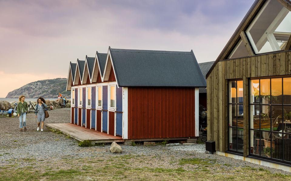
As Nyhamnsläge fishing village, you’ll find the tall Austrian pine and the bush-like dwarf mountain pine. The old buildings around the harbour attest to the rich fishing and shipping history of this community.
Cultural History
Take a little detour to see Krapperup Manor, which had a major effect on the Kulla area ever since the Middle Ages. Once the property of the Krognos family, the manor currently belongs to the Gyllenstiernska Krapperupsstiftelsen Foundation.
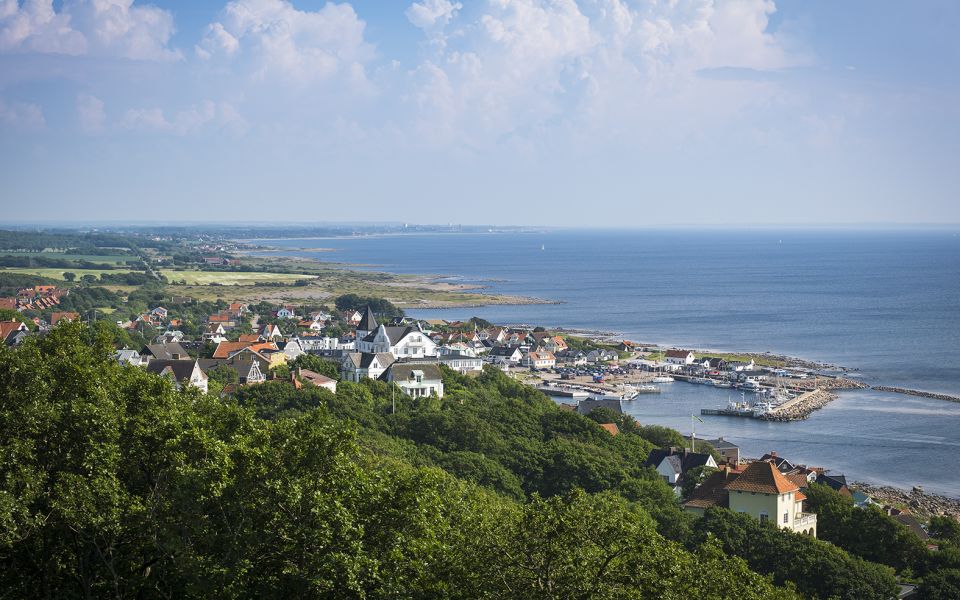
When the railway reached the exclusive bathing town of Mölle in 1910, the Strandbaden railway station was also built. This area became the summer resort of choice for the people of Höganäs, and to the east of you can see rows of summer homes.
In the 1720, the then owner of the Manor, commissioned the construction of Lerhamn, a harbour with its bottom covered with blue clay. The pine forest along the coast was also planted at the request of the Manor. The trees were meant to hold together the sand, and protect the farms further inland.
Höganäs is well-known for its ceramics, but originated as a fishing village and mining community. The kilometre-long mining passages underground, and remains of slag heaps, give an idea of mining between 1797 and 1961.
12 km
Degree of difficulty
About Difficulty Grading
The grading is tailored for Swedish lowland trails that adhere to the quality criteria established by the national framework for hiking trails.
Even and firm ground: The terrain is generally flat. The hike requires no need to use your hands for support. No obstacles. Bridges are always present when crossing waterways.
Uneven and/or soft ground: Some changes in elevation. Certain sections may require hand support to maintain balance. There may be obstacles such as low stiles and short stairs. Minor obstacles like stones and roots. Boardwalks are present.
Loose or slippery ground combined with steep sections: Technical parts require hand support. There may be obstacles such as high stiles and longer stairs. Frequent sections with stones and/or roots. Boardwalks with deeper surrounding water.
Note: One or more of these features may be present along the trail section.
Green
3-4 timmar
- Kustnära
- Stadsnära
- 7-15 km
- Lätt
- Kollektivtrafik
- Skåneleden
Highlights along the section
Are you looking for a place to stay or a cozy cafe during your hike? Here are some of the sights and places to visit along the section.
Hiking suggestions
Do you find it difficult to know where to start your hike? Here is some inspiration and a selection of recommended hikes - short and long, with or without accommodation or based on different themes.
Show allNews
Here you will find information about what's new on the trail as well as current redirections and disturbances.
Continue on the trail
Share your moments
Share your adventures on the trail by tagging your photos with #skåneleden or #skaneleden.