
Anders Andersson
8 Osby - Verum
- Length
- 24 km
- Degree of difficulty
- Blue
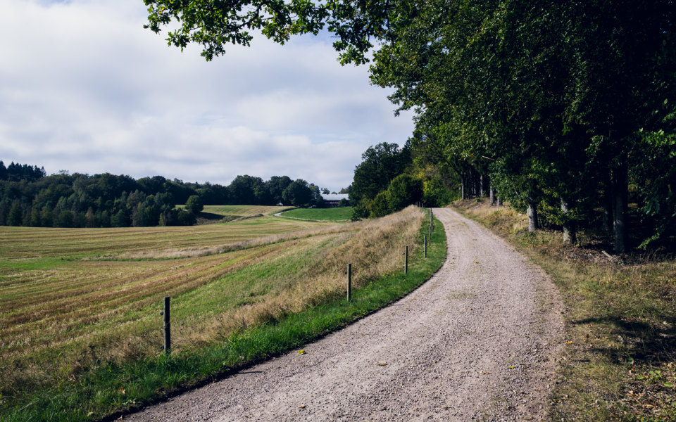
Here you walk through Osby urban area and past the railway, old arable land and moss fields and further into hilly forest. In Vieån, you have the chance to see otters and pinch.
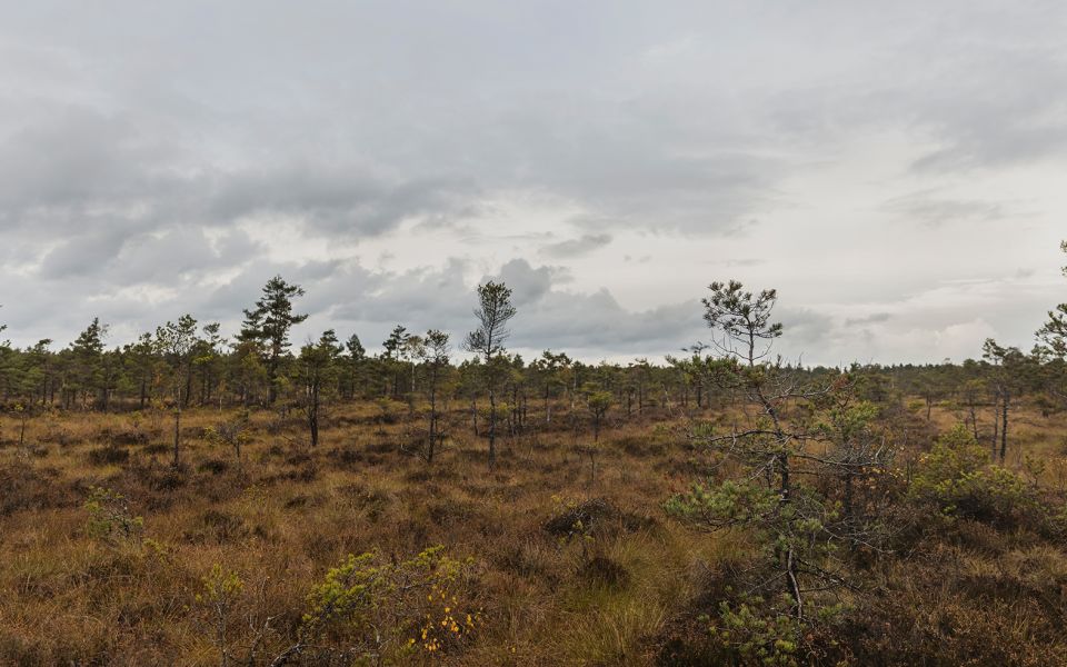
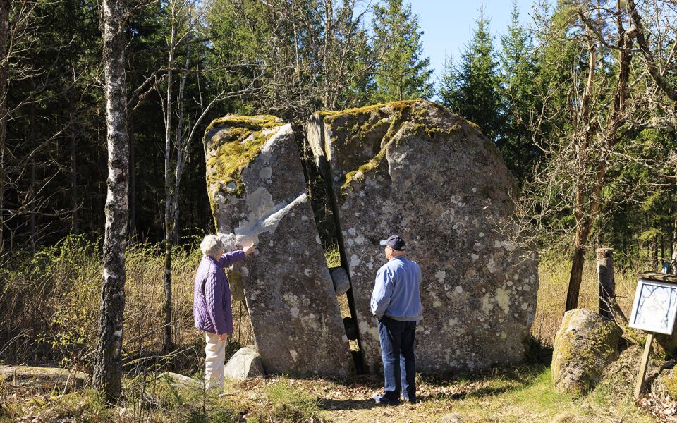
On a road bank you walk over Gullarp's bog with gnarled birches, tufted hawthorn and cloudberries. Peat pits and road banks can be seen on Gullarp's bog after the mining of burnt peat during the 1940s. Several of the area's moving blocks were used as boundary markers, some have been named, such as the Christ Stone. Here the Viking chief Ilje died when lightning struck him and split the stone. Look into the gorge, the stone is shaped like a crucified Christ.
Gravel roads take you further past hilly pastures and a river. To the west, the forest takes over and you follow crooked paths. The asphalt road takes you over the Helge river and in front of you are Hörlinge meadows. The meadows have been used for mowing for a long time, which gives a rich and special flora. If you want to explore the area further, you can hike on the Vieåleden, which offers varied landscapes and natural pastures.
At Horsa forest, there are blasted pastures and the closer you get to Verum, the more open the landscape becomes. At the village, you have a view of the Vieån and the valley. The river is narrow and naturally crooked with valuable beach meadows and tree curtains that provide shade. Both fish and mussels thrive in the river and the little bird nests here.
To the east of the Helge River, there are remains of a defence facility that was probably built during the Scanian War of 1675-79. The area is rich in tar valleys and at Hästberga power station there are clear examples. Here, pine stumps were burned and the tar ran down to the bottom of the valley. The burning took several days and required constant guarding.
The church on the hill in Verum was built during the 13th century, here the ABBA members Agnetha Fältskog and Björn Ulvaeus married in 1971.
24 km
Degree of difficulty
About Difficulty Grading
The grading is tailored for Swedish lowland trails that adhere to the quality criteria established by the national framework for hiking trails.
Even and firm ground: The terrain is generally flat. The hike requires no need to use your hands for support. No obstacles. Bridges are always present when crossing waterways.
Uneven and/or soft ground: Some changes in elevation. Certain sections may require hand support to maintain balance. There may be obstacles such as low stiles and short stairs. Minor obstacles like stones and roots. Boardwalks are present.
Loose or slippery ground combined with steep sections: Technical parts require hand support. There may be obstacles such as high stiles and longer stairs. Frequent sections with stones and/or roots. Boardwalks with deeper surrounding water.
Note: One or more of these features may be present along the trail section.
Blue
6-7 timmar
- Skog
- Sjö
- 15-26 km
- Lätt
- Skåneleden
Highlights along the section
Are you looking for a place to stay or a cozy cafe during your hike? Here are some of the sights and places to visit along the section.
Hiking suggestions
Do you find it difficult to know where to start your hike? Here is some inspiration and a selection of recommended hikes - short and long, with or without accommodation or based on different themes.
Show allNews
Here you will find information about what's new on the trail as well as current redirections and disturbances.
Continue on the trail
Share your moments
Share your adventures on the trail by tagging your photos with #skåneleden or #skaneleden.